Views taken around the town of Orthez
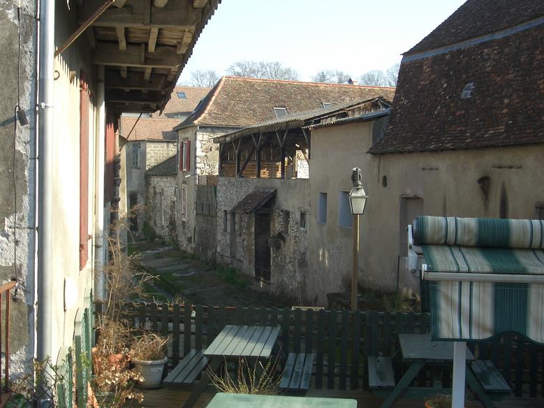

| Traditional Béarnaise rooves | Open air laundry |
Orthez,
which
for 222 years was the capital of Béarn (an independant state
until 1620 when it was taken over by France), has a significant
Protestant history. The area was severely affected by
brief but bloody religious wars and, on 24 August 1569, about
3000 catholics were massacred in Orthez. Although it was
deprived of its status as capital, it was endowed with a
protestant university, and remained one of the most important
towns in Béarn. There is a museum dealing with the subject
(Le Musée du Protestantisme). Orthez lies in the
geographical area permitted to produce wines of the
Béarn-Bellocq appellation. A new vineyard in the town was
opened in 1991 to commemorate 600 years since the death of
Gaston Fébus (Gaston III of Foix-Béarn, of which he made Orthez
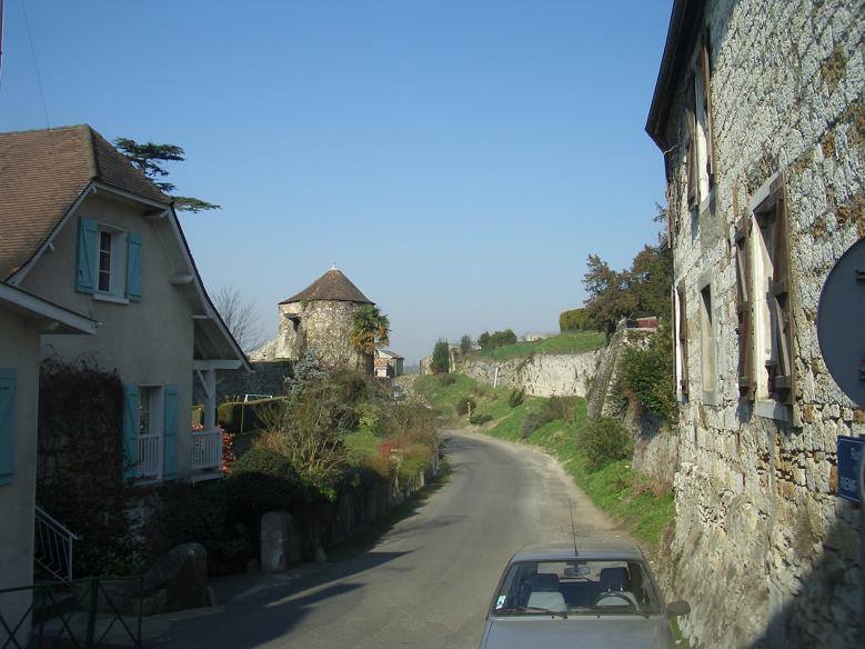
the capital). The three views to the right below would,
when the weather isn't hazy, have the Pyrénnées as a backdrop.


| Protestant church on left |
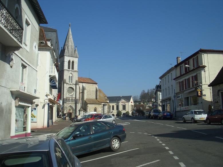
View looking down to town centre |
Town from the
commemorative vineyard |
From the fortifications at the
Moncade tower |
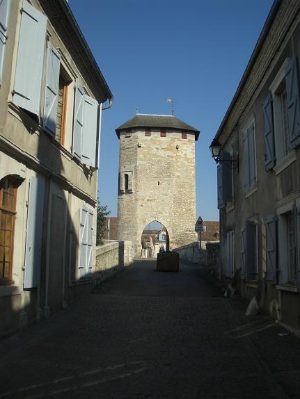
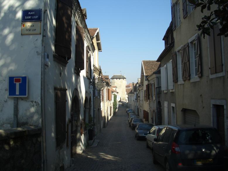
The Château (castle) Moncade, from which the town and region was administered for a while in the Middle Ages, has partly disappeared but the keep, or tower, the "Tour Moncade", is still the dominating visual feature of the town. This is the tower that appears at the top of these website pages. The moat has the typical shape of French moats of the period (somewhat different from those in England). The tower was more recently used as a prison. It is open to visitors only in the summer months but the reward for climbing to the top, in clear weather, is magnificent views including, of course, the Pyrénnées. The Rue Moncade is the main road from the tower to the river crossing which are all on one of the main pilgrims’ routes through Aquitaine to Compostella.


| The excavated moat |
The Moncade Tower |
Rue Moncade |
Rue Moncade |
The Château Moncade was built in the 13th century. Prior
to that the old town (the Bourg Vieux), at the bottom of the
hill near the river, was fortified by town walls of which there
are a few remnants. Subsequently two new boroughs (the
Bourg Moncade and, in between, the Bourg Neuf, the new borough)
were each separately enclosed by walls in the 13th
century. There are therefore remnants of three different
sets of town walls! While the three enclosed sites are
referred to as boroughs, they are quite small. The
dimensions of all three together only amount to approximately
800 metres by 250 metres (one fifth of a square kilometre).


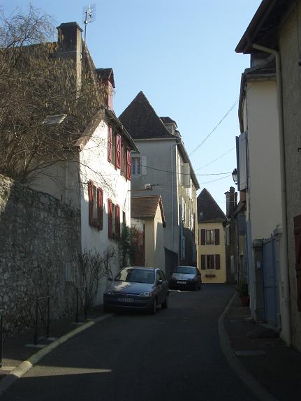
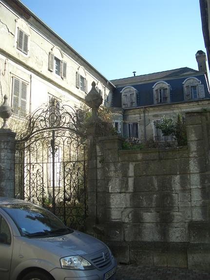
| Near Tour Moncade |
A mediaeval tower - part of the old walls of the Bourg Neuf, near Tour Moncade | Place du Foirail |
Place du Foirail |
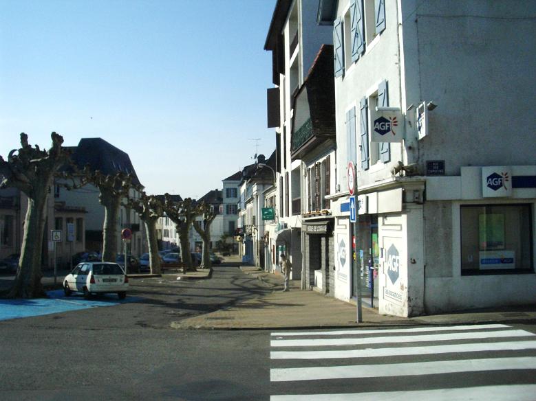
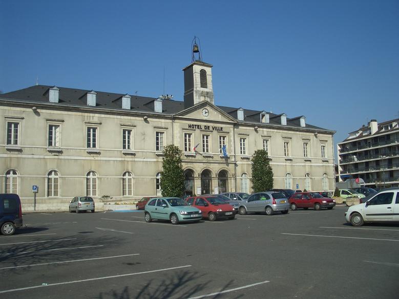
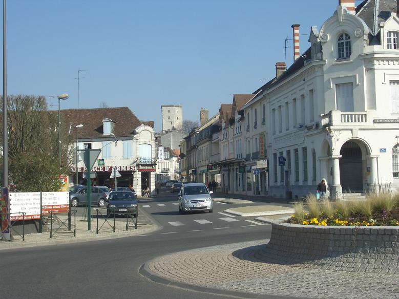
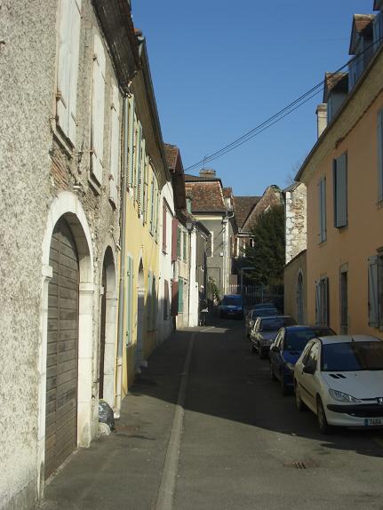
Later, the town expanded to the east and west of the walls of the 3 boroughs and there is architecture from a variety of periods. The current Town Hall and the Place d'Armes lie just outside the line of the old town walls. The Town Hall and other significant buildings were taken over by the German occupying forces during the second world war. (N.B. Orthez was the boundary of occupied France in this area and was like a frontier town in some respects). The history of the occupation and the resistance is an interesting story in its own right.


| Place Brossers |
Place Brossers |
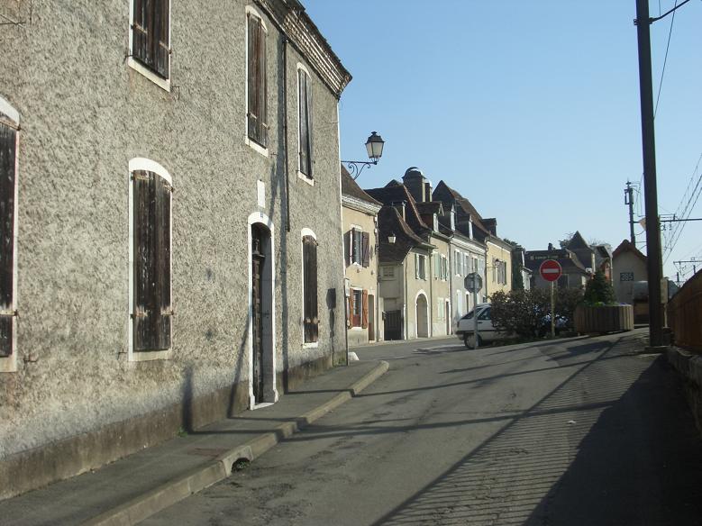
Rue Saint-Gilles |
Town Hall in the Place d'Armes |
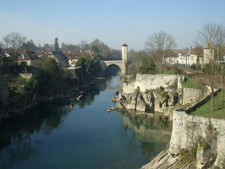
At the bottom of the hill, at the "Gave" (river), is the boundary of the oldest inhabited part of the town. The Pont Vieux (the old bridge) is said to be one of the most beautiful examples of mediaeval defensive architecture preserved to the present day, with its roofed tower (there were originally two) standing on the bridge itself. Although some repair of the parapets was required, it survived an attempt to demolish it by Napoleon's military engineers, intending to deny the use of it to Wellington's forces during the Battle of Orthez. Demolition of all other bridges between Bayonne and Pau was successful. (The Battle, 27 February 1814, was ultimately concluded on the rising ground just outside the town to the north and west. It was the final battle of the Peninsular War, although the Battle of Toulouse was fought after Napoleon had capitulated. The Napoleonic forces were put to flight, losing about 2500 of their troops killed or wounded, and another 1000 or more taken prisoner). Parts of the old town walls can be seen (see photograph below) rising from the river bank between the old and new bridges.

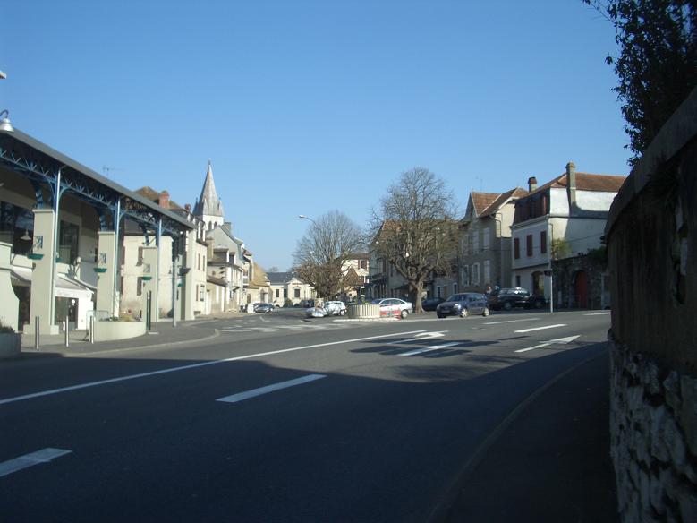
| Place d'Armes at start of Le
Tour de France 2007 - Stage 16 |
Rue Jeanne-d'Albret looking
towards Tour Moncade |
Pont-Vieux from Pont-Neuf |
Rue du Pont-Vieux |
The south side of the river is called Départ. For centuries the old bridge was the river crossing and the way into the town for those coming to trade goods as well as for pilgrims making for Compostella. While the old road is still used, solely by the residents' vehicles, the bridge itself is now for pedestrians only. The new bridge, more suited to vehicular traffic was buit in the mid-nineteenth century, as was the railway.


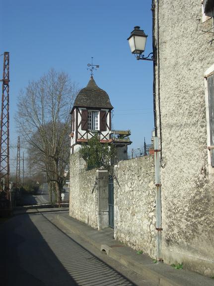
| Impasse de l'Ecorcherie, Départ | Rue Gaston-Planté, Départ |
Rue du Pont-Vieux, Départ | Pont-Neuf from Pont-Vieux |
The
area
of the Bourg-Vieux, the oldest part of the existing town, lies
immediately on the north bank. The Rue Craverie (formerly
the Rue de la Graverie, possibly taking its name from "gravier",
or gravel, extracted from the river), the Rue des Aiguilletiers,
and the Rue Bourg-Vieux follow the ancient street plan.

| Rue du Pont-Vieux from the bridge | Rue Craverie |
Rue Craverie | Rue Craverie |
| Rue Bourg-Vieux | Rue des Aiguilletiers |
Rue des Aiguilletiers |
Immediately to the west of the fortified "Bourg-Vieux", lies the area known as La Moutète which gives its name to the large market hall. The word "moutète" or "moutet" comes from a Béarnaise word meaning "mound". The lower end of this area is thought to be the site of the original fortress, pre-dating the Bourg-Vieux. While nothing of this remains above ground, walls of 1.3 metres (4 feet) thickness were found during excavations in 1967 for the new section of road (Avenue de la Moutète). Above this avenue is the Place Saint-Pierre and the church, constructed around 1300. Built after the earliest of the Bourg-Neuf's town walls, it is hypothesised that additional walls, which are not visible above ground, were built to conjoin it. There is a cultural centre incorporating a theatre and bookshop in the Place which, on Tuesday mornings, also fills up with market stalls. There are shops, bars and restaurants here and within a short walking distance.
| Avenue de la Moutète | Avenue de la
Moutète to Place Saint-Pierre |